

What a 360 Drone Tour Shows That Ordinary Photos Can't
Stand on a rooftop and turn slowly in a circle. You see the pool below, the tree line behind it, the street, the hills and the skyline in the distance. Now imagine handing that experience to someone a thousand miles away, on their phone.
That is a 360 drone tour. It is one of the most useful and least understood tools in aerial photography.
What exactly is a 360 drone tour?
A 360 drone tour is an interactive aerial panorama. Instead of a fixed photo, the viewer gets a full sphere of imagery from a point in the sky. They can drag, swipe or tilt their phone to look up, down and all the way around.
Tours can include a single viewpoint or several linked positions, for example one above the front of a property, another over the backyard and a third high enough to show the surrounding neighborhood. Many platforms let you add labels and hotspots for points of interest.
How it differs from a standard aerial photo
A standard aerial photo is a decision made by the photographer: this angle, this framing, this moment. A 360 tour hands that decision to the viewer. They choose what to look at and for how long.
How it differs from 360 video
360 video plays over time while the viewer looks around. A 360 tour is usually made from still panoramas explored at the viewer's own pace. Both start with the same thing: capturing every direction at once.
How true 360 capture works
Most drones carry a single camera on a gimbal that points one way at a time. To build a panorama, they shoot dozens of overlapping frames and stitch them together, which takes time and can leave seams when anything in the scene moves.
Stoop 360 flies with true 360-degree capture, recording the full sphere around the aircraft at once. That means:
- Consistent results when trees sway, water moves or clouds drift.
- Faster capture at each position, which matters when light is changing.
- Creative flexibility, because the same capture can be reframed into conventional photos and video after the flight.
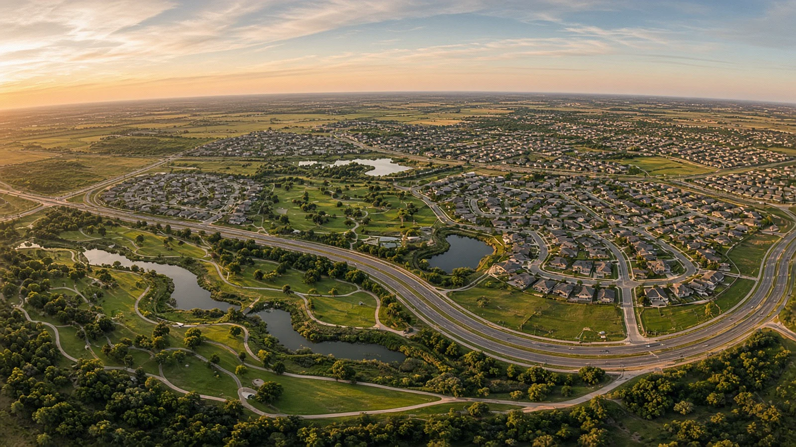
Where 360 drone tours make the biggest difference
Real estate and land
For acreage outside Fort Worth, Hill Country homes near Lakeway or estate lots in Southlake, a 360 tour shows what static photos can't: how the property relates to everything around it. Out-of-town buyers relocating to DFW or Austin can explore the setting before they ever schedule a showing.
Pair it with a traditional aerial set, as outlined in our guide to drone real estate photography, and you cover both the curated story and the self-guided exploration.
Event venues
Wedding and event venues can show couples and planners the full grounds, from the ceremony lawn to the reception hall to the parking and access roads, in one interactive view.
New developments and commercial property
Master-planned communities in Collin and Williamson counties, retail centers and office campuses benefit from showing access, nearby roads and amenities. Investors and tenants get a sense of place that a site plan alone doesn't give.
Construction documentation
Repeating 360 captures from the same positions over time creates a navigable visual record of a project. We explore that more in our article on drone construction progress photography.
What makes a great 360 tour
Not all panoramas are created equal. A few things separate a useful tour from a dizzying one.
- Smart positions. Each viewpoint should answer a question: What's behind the house? How far is the water? Where is the entrance?
- The right height. Too low and the tour feels cramped. Too high and the property becomes a speck. Most tours use more than one altitude.
- Good light. Even light across the whole sphere matters, because the viewer can look in any direction, including straight into the sun.
- Clean sky and horizon. A level horizon and a natural-looking sky make the tour comfortable to explore.
- Easy sharing. The tour should open in a mobile browser without an app, and embed cleanly in a listing or website.
Planning a 360 aerial shoot in DFW or Austin
The same rules apply to 360 capture as to any commercial drone flight. The pilot needs an FAA Part 107 remote pilot certificate, must keep the drone within visual line of sight, and generally stays at or below 400 feet above ground level.
Airspace near DFW International, Dallas Love Field, Austin-Bergstrom and other towered airports may require FAA authorization, often requested through LAANC. Check this when scheduling, especially for higher viewpoints.
On the day, a few details help:
- Choose a calm, clear window. Wind and haze show up in every direction.
- Tidy the whole property, not just the front, since viewers can look anywhere.
- Decide in advance which points of interest you want labeled in the tour.
The view, handed over
Photos tell people what to see. A 360 drone tour lets them discover it. For properties, venues and projects where the surroundings matter as much as the structure, that freedom to look around can be the most persuasive image of all.
Frequently Asked Questions
What is a 360 drone tour?
A 360 drone tour is an interactive aerial panorama captured from one or more points in the sky. Viewers can drag, swipe or turn their phone to look in any direction, as if they were hovering above the property.
Do 360 drone tours work on phones?
Yes. Most 360 viewers work in mobile browsers, letting people swipe or move their phone to look around. They also work on desktop computers and can be viewed in VR headsets.
Can a 360 aerial tour be combined with an interior virtual tour?
Often, yes. Aerial panoramas can be linked to interior tours so viewers can move from the sky to the front door and inside, depending on the tour platform being used.
Is a 360 drone tour the same as 360 video?
Not quite. A 360 tour is usually built from still panoramas that the viewer explores at their own pace, while 360 video is moving footage in which the viewer can look around as it plays. Both come from 360-degree capture.
Images in this article are illustrative and do not depict specific Stoop 360 projects.
Keep reading
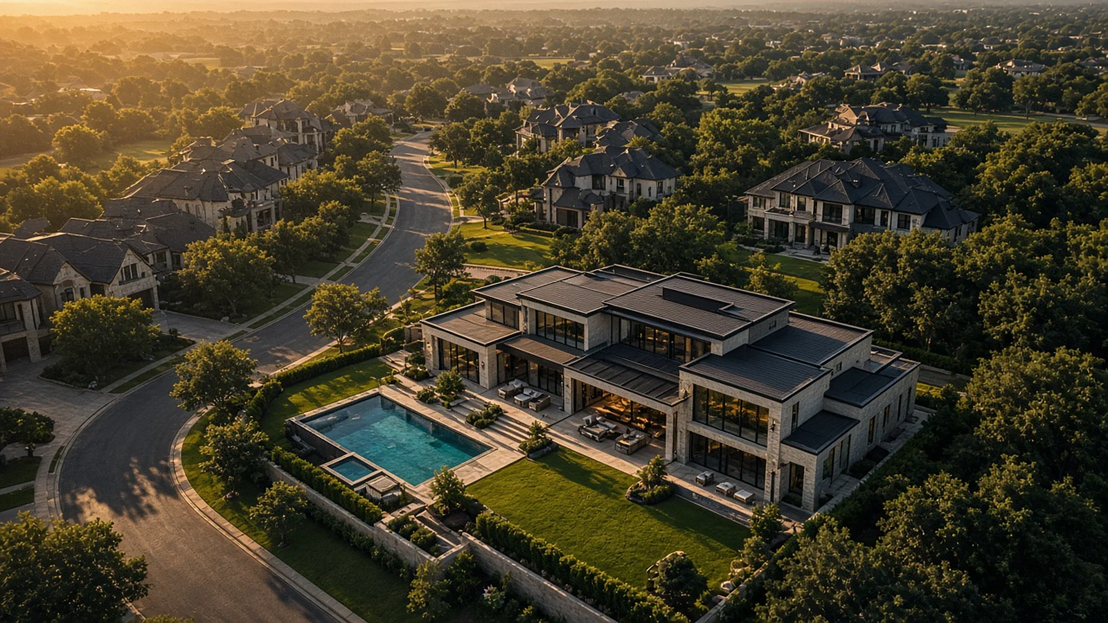
Drone Real Estate Photography in DFW and Austin: How Aerial Images Help a Listing Stand Out
Lot lines, views, the pool, the drive to the lake. Here is how aerial photos tell the part of a listing that ground photos can't.
Read article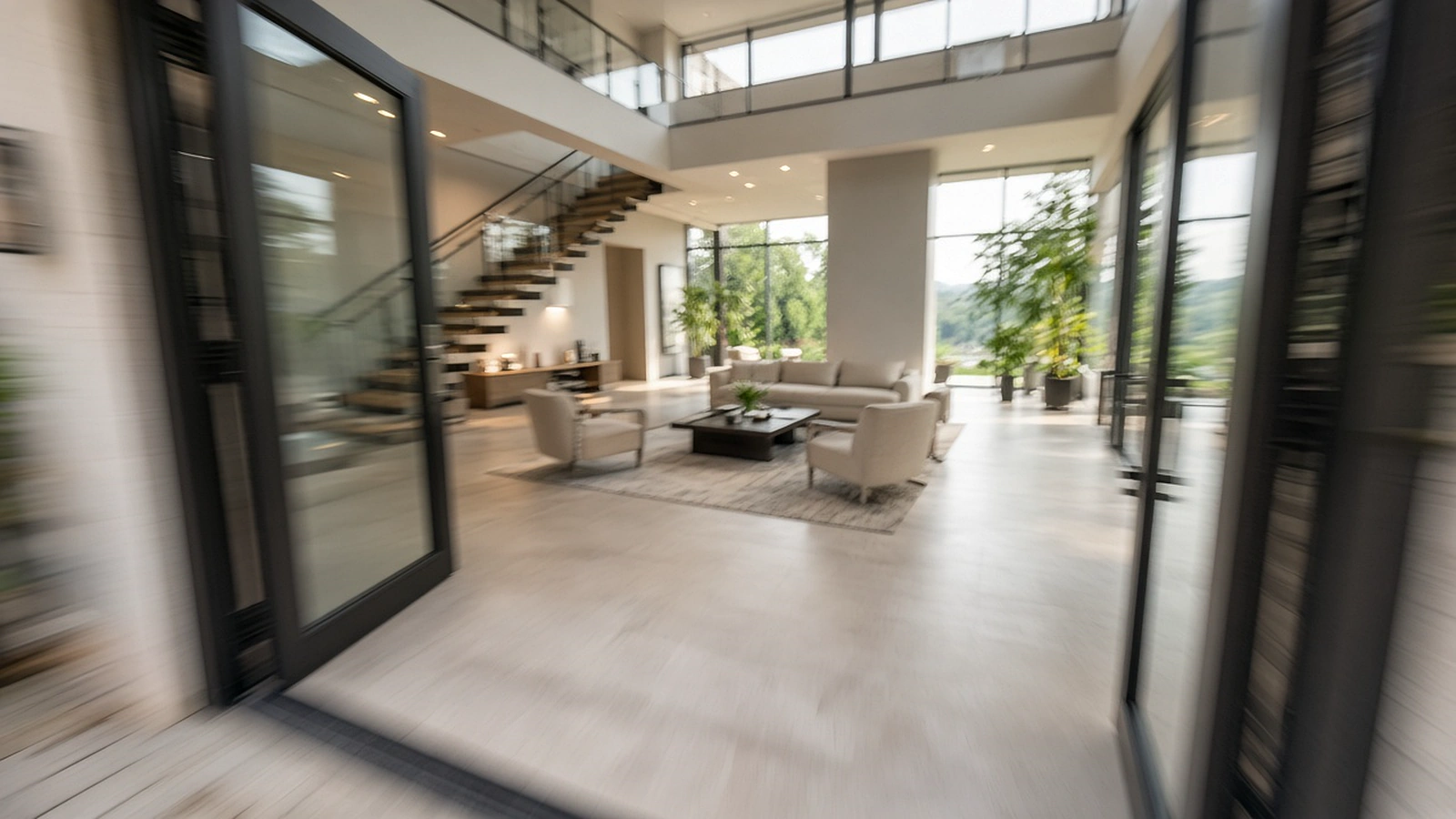
FPV Fly-Through Videos: The One-Take Tour Everyone Is Talking About
Through the front door, down the hall, out over the pool and up into the sky, in one continuous shot. How FPV fly-throughs are planned and when they're worth it.
Read article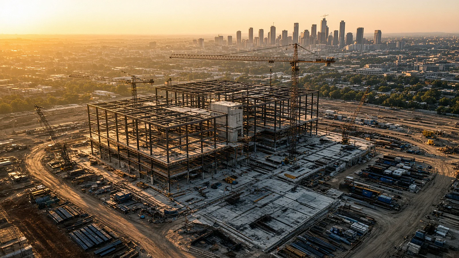
Tracking a Build From the Sky: Drone Construction Progress Photography
Same positions, same angles, every visit. How repeatable aerial documentation keeps owners, lenders and teams on the same page as a project rises.
Read article