
Drone Real Estate Photography in DFW and Austin: How Aerial Images Help a Listing Stand Out
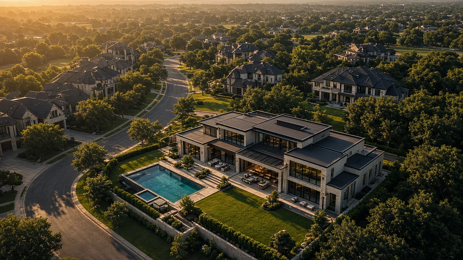
A buyer scrolling listings in Frisco or Lakeway gives each home a few seconds. In that moment, a single aerial frame can answer questions that a dozen ground-level photos leave open: How big is the lot? What backs up to the fence line? How close is the lake, the greenbelt, the golf course, the school?
That is the real job of drone real estate photography. It is not about novelty anymore. It is about context, and context sells.
Why aerial context matters to buyers
Interior photos show finishes. Aerial photos show the life around the house. For many buyers in Dallas-Fort Worth and Austin, that surrounding life is half of the decision.
What a drone shows that the ground can't
- Lot size and shape. Corner lots, cul-de-sacs, pie-shaped lots and acreage are hard to read from the street.
- Privacy and orientation. Mature trees, the direction the backyard faces, and what sits behind the property line.
- Outdoor living. Pools, outdoor kitchens, sport courts and gardens look their best from a gentle elevated angle.
- Neighborhood amenities. Trails, parks, community pools and nearby retail in places like Plano, Southlake or Round Rock.
- Views and water. In the Hill Country and around Lake Travis, the view often is the listing.
Property types that benefit most
Aerial imagery helps almost any listing, but it earns its keep on homes where the setting is a selling point: lakefront and Hill Country properties west of Austin, estate lots in Southlake and Westlake, new construction in growing Collin County communities, ranch and acreage listings outside Fort Worth, and townhome or condo projects where the amenity package matters.
The shots that do the heavy lifting
A good aerial set is planned, not improvised. These are the frames we think about first.
The hero oblique
A three-quarter angle from roughly rooftop height to a few stories up, showing the front elevation, the roofline and the yard together. This is usually the cover image, and it should feel like a confident first impression rather than a satellite map.
The top-down
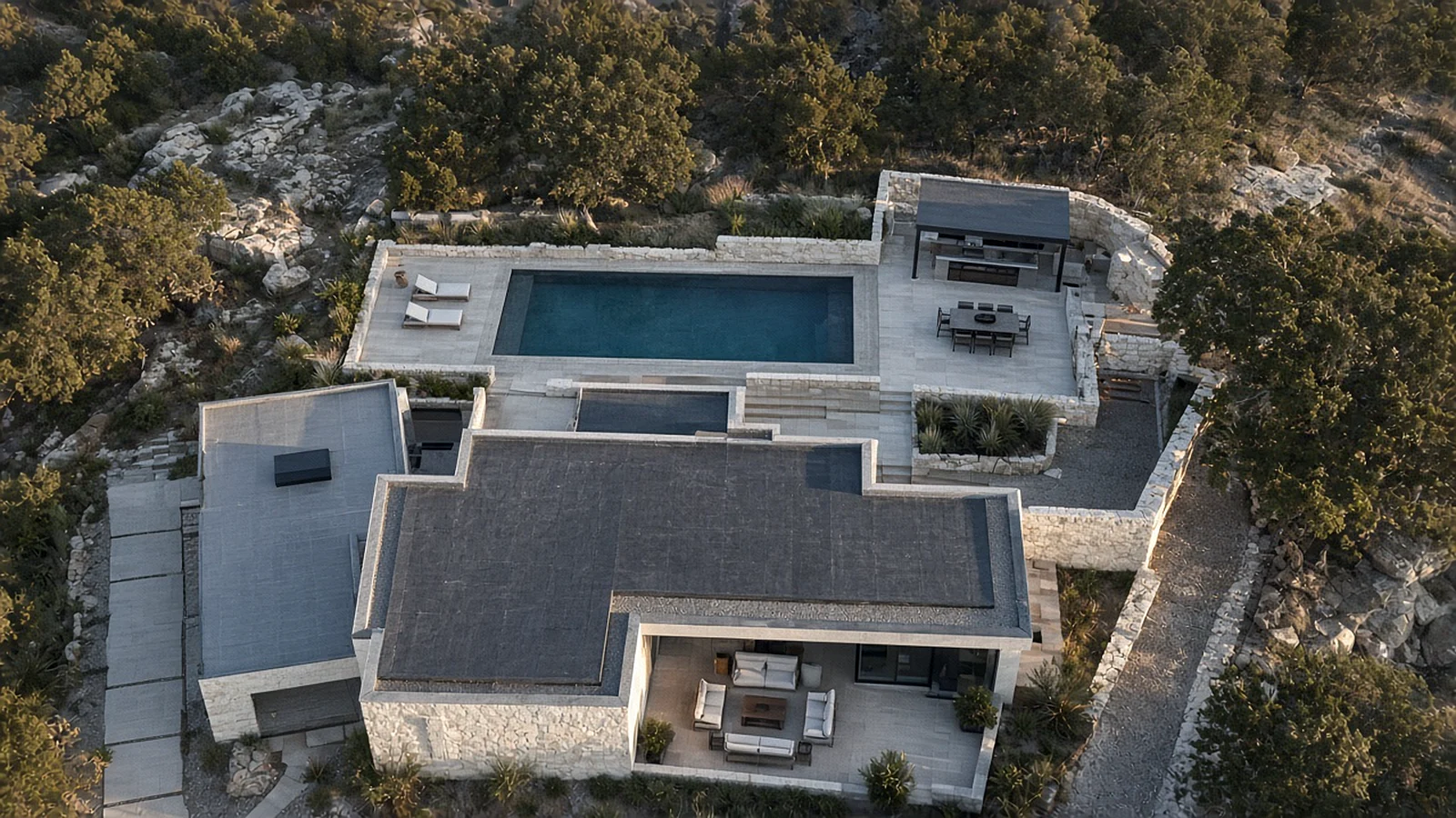
A straight-down view reads like a site plan. It is the clearest way to show lot shape, pool placement and how outdoor spaces connect. It also looks striking in a gallery next to traditional photos.
The context pull-back
A higher frame that places the home in its surroundings: the greenbelt behind it, the distance to the lake, the walk to the town square. Buyers relocating to DFW or Austin from out of state lean heavily on these images.
The twilight frame
Shot just after sunset, with interior lights on and the sky still holding color. Twilight aerials are especially effective for homes with strong architecture, pools or skyline views.
Where 360 capture changes the game
Standard drones see what sits in front of the camera. Stoop 360 flies with true 360-degree capture, recording the full sphere around the aircraft in a single pass.
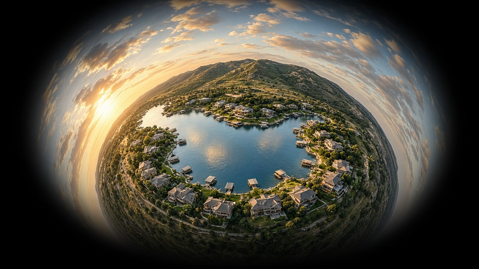
For real estate, that means two things. First, we can choose the best framing after the flight, pulling several distinct compositions from one position. Second, we can deliver immersive aerial panoramas that let a buyer look in any direction from above the property. It is the closest thing to standing on the roof and turning around, and it pairs naturally with interior virtual tours.
If you want to go deeper on immersive formats, read our guide on what a 360 drone tour shows.
Timing, light and Texas weather
Good aerial work depends on conditions as much as on equipment.
- Golden hour softens harsh shadows and warms limestone, brick and landscaping.
- Midday can work for top-down shots, where short shadows keep the site plan clean.
- Summer heat in Central and North Texas affects battery performance and can create haze, so early mornings are often the best window.
- Wind picks up quickly across open North Texas terrain and around Lake Travis, so a flexible schedule helps.
- Spring storms can mean a reschedule, but they also bring dramatic skies when they clear.
Rules and airspace: the part that matters around DFW and Austin
Real estate drone photography is a commercial use. The pilot must hold an FAA Part 107 remote pilot certificate and fly under Part 107 rules, which include keeping the drone within visual line of sight and generally flying no higher than 400 feet above ground level.
Airspace is the bigger local factor. Much of the Dallas-Fort Worth area sits under the controlled airspace surrounding DFW International and Dallas Love Field, and Austin-Bergstrom has its own controlled airspace. Smaller towered airports dot both metros. Flying in controlled airspace requires FAA authorization, which pilots often request through LAANC, an automated system that can approve many requests quickly when the location and altitude allow it.
The practical takeaway: hire a pilot who checks airspace before confirming your shoot, not on the morning of it. Our article on FAA Part 107 drone rules in DFW and Austin covers this in more detail.
How to prepare a property for aerial photos
A few simple steps make a visible difference from above:
- Move cars out of the driveway and off the street in front of the home.
- Close garage doors and remove trash and recycling bins.
- Uncover the pool, clear leaves and run the pump so the water is still and clear.
- Mow and edge the lawn a day or two before the shoot.
- Put away hoses, toys and yard tools.
- Turn on interior and landscape lights if a twilight shot is planned.
- Let neighbors know a drone will be overhead briefly. It is a courtesy that heads off concerns.
The bottom line
Drone real estate photography works because it answers the questions buyers are already asking. In markets as varied as Dallas-Fort Worth and Austin, from a new build in Prosper to a hillside home in Lakeway, the right aerial set shows not just the house, but the life that comes with it.
Frequently Asked Questions
Do I need a licensed pilot for real estate drone photos?
Yes. Real estate drone photography is a commercial use, so the pilot must hold an FAA Part 107 remote pilot certificate and follow Part 107 operating rules, including airspace authorization where required.
Can a drone fly near DFW International or Austin-Bergstrom for a listing shoot?
Many neighborhoods near major airports sit in controlled airspace. A certified pilot can often request authorization through LAANC or the FAA's DroneZone, but approval and altitude limits depend on the exact location.
How many aerial photos does a typical listing need?
It depends on the property. A compact lot may need only a handful of strong angles, while acreage or a lakefront home may need more to show access, boundaries and views. Plan the shot list around what buyers need to understand.
Is aerial video worth adding to listing photos?
For larger, view-driven or amenity-rich properties, a short aerial video can show flow and setting in a way stills can't. For smaller homes, a few well-chosen aerial stills may be enough.
Images in this article are illustrative and do not depict specific Stoop 360 projects.
Keep reading
What a 360 Drone Tour Shows That Ordinary Photos Can't
One position in the sky, every direction at once. A plain-English look at immersive aerial panoramas and where they make a real difference.
Read article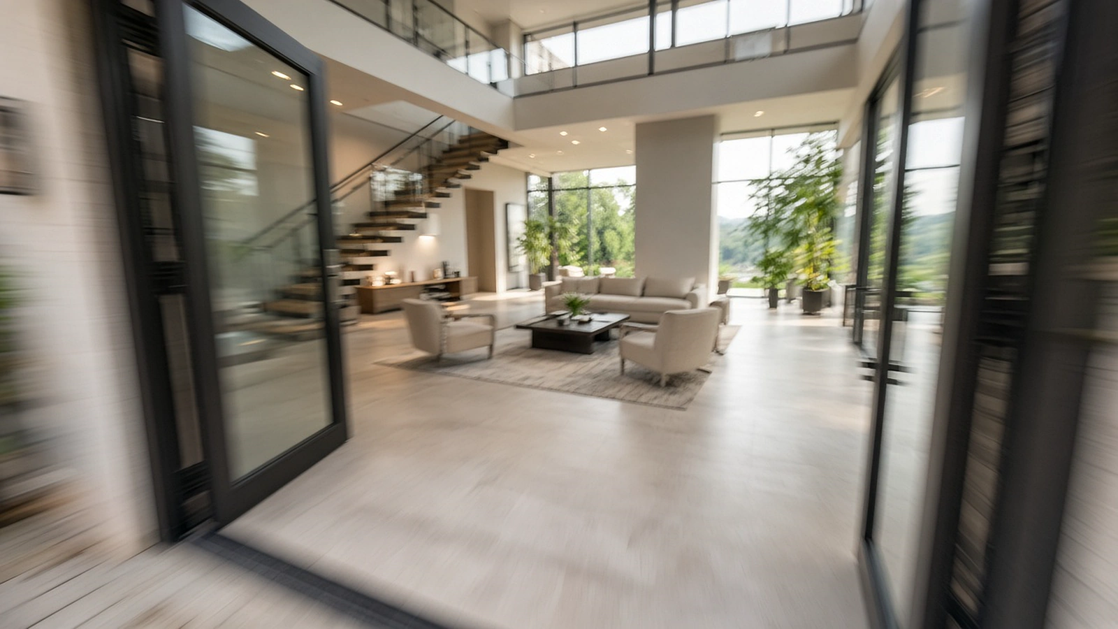
FPV Fly-Through Videos: The One-Take Tour Everyone Is Talking About
Through the front door, down the hall, out over the pool and up into the sky, in one continuous shot. How FPV fly-throughs are planned and when they're worth it.
Read article
How Much Does Drone Photography Cost? What Really Drives the Price
No made-up price lists here. Instead, a clear look at the factors behind every drone photography quote, so you can compare offers and budget wisely.
Read article