
Tracking a Build From the Sky: Drone Construction Progress Photography
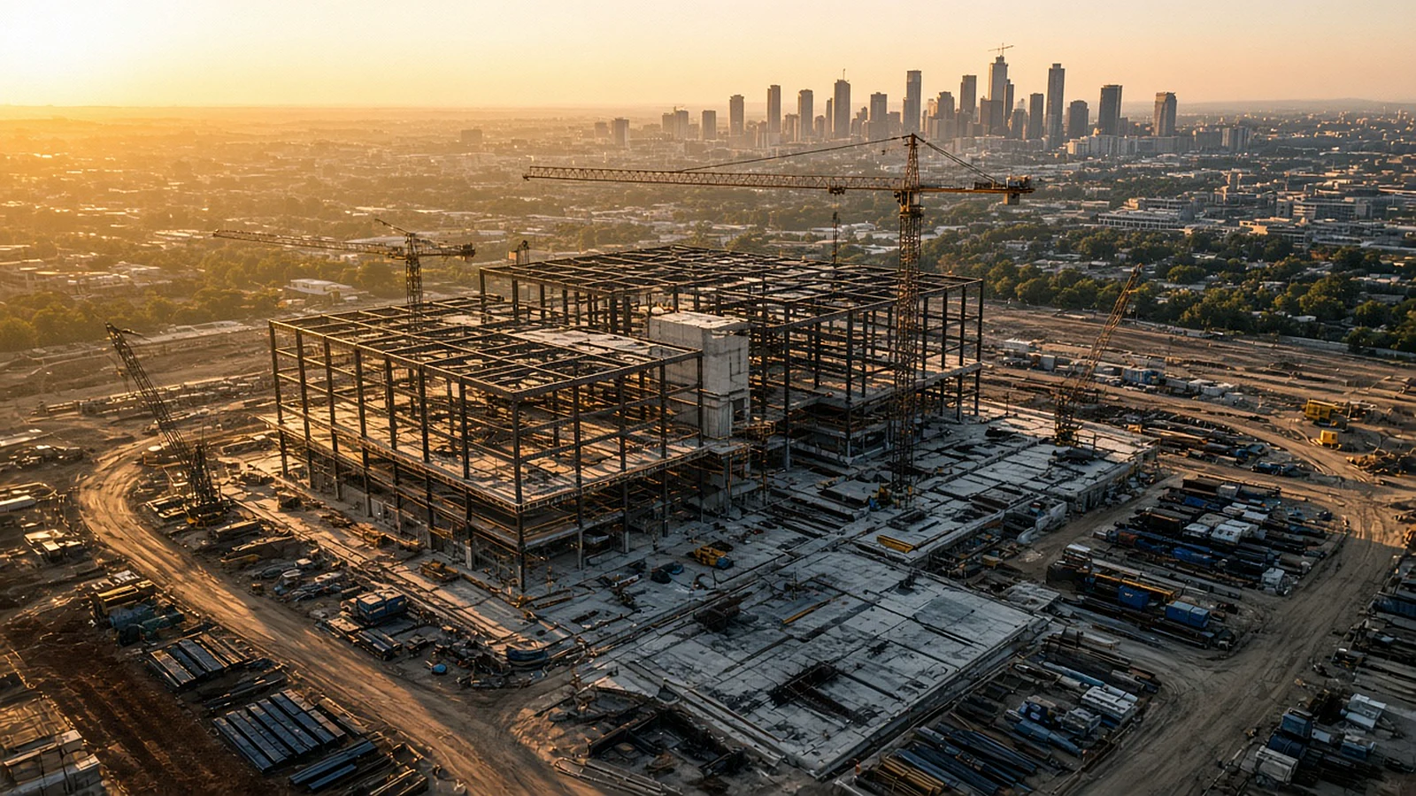
On day one, it's a dirt lot off the Dallas North Tollway. Six months later, there's a steel frame. A year after that, there's a building with tenants moving in. The only way to truly see that story is from above, and the only way to tell it well is to capture it the same way, every time.
That is the idea behind drone construction progress photography.
Why aerial documentation matters on a job site
Construction moves fast, and the people who need to understand it often aren't on site. Owners, lenders, investors, architects and future tenants all want to know the same thing: how far along is it, really?
Aerial progress photography answers that question visually. It shows the whole site at once, including staging areas, access roads and surrounding context that ground photos miss.
Who uses it
- Developers and owners reporting to partners and investors.
- General contractors documenting progress and site conditions.
- Lenders tracking draws against visible work.
- Architects and engineers reviewing site layout and progress.
- Marketing teams building anticipation for a new community, office or retail center.
The secret is repeatability
A single aerial photo is nice. A series of identical aerial photos over months is powerful.
Good progress documentation captures the same positions, at similar altitudes, with the same framing on every visit. When the images are lined up, the change becomes unmistakable, and time-lapse sequences become possible.
What a typical progress set includes
- Fixed-position stills from the same corners and elevations each visit.
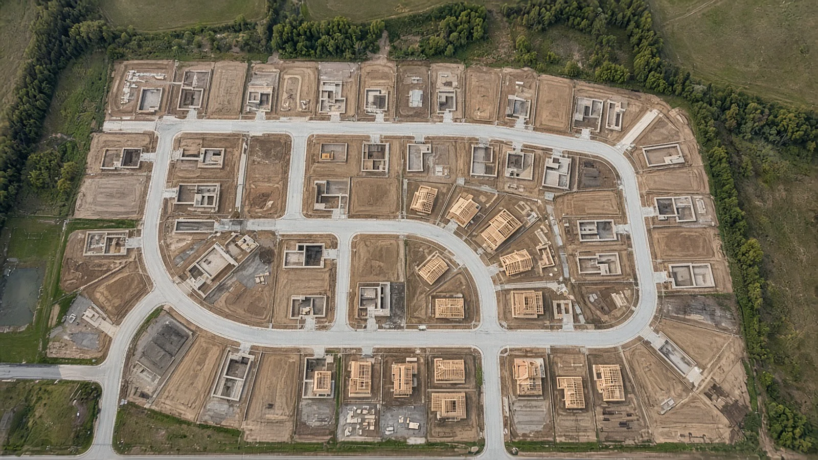
- A top-down overview that reads like a site plan.
- Context shots showing roads, neighbors and the skyline.
- Detail views of areas the team wants to highlight.
- Short video clips for presentations and social media.
Where 360 capture adds value
With true 360-degree capture, every visit records the complete sphere around each position. Stakeholders can explore the site in any direction, not just the angle a photographer chose that day.
That has two practical benefits. First, questions that come up months later, such as where materials were staged or how a utility trench was routed, can often be answered by looking back at an earlier capture. Second, it's an engaging way to show remote partners the site without a site visit. Learn more in our article on what a 360 drone tour shows.
Maps, models and their limits
Drones can also capture overlapping images that software stitches into orthomosaic maps and 3D models. These are useful for visualizing a site, comparing stages of work and supporting planning conversations.
It's important to be clear about the limits, though. Drone maps don't replace a legal survey. Boundary and land surveys require a licensed professional land surveyor, and survey-grade accuracy requires specialized workflows. Ask your provider exactly what their deliverables are designed for.
Planning flights on active job sites
Coordinate with the site team
The pilot should check in with the superintendent, follow site safety rules and personal protective equipment requirements, and agree on a takeoff spot clear of equipment and traffic.
Respect people and equipment
Part 107 limits flying over people who aren't directly participating in the operation. On a busy site, that means planning routes around crews and active work zones. Cranes deserve extra attention, and pilots keep a safe distance from them.
Check airspace early
Many growing corridors in North Texas and Central Texas sit near airports. Projects near DFW International, Dallas Love Field, Austin-Bergstrom or smaller towered airports like Addison or Fort Worth Alliance may require FAA authorization, often requested through LAANC. Recurring projects benefit from a pilot who tracks authorizations visit to visit.
Watch the weather
Wind and heat affect both flight safety and image quality. Consistent time-of-day scheduling also keeps lighting similar from visit to visit, which makes comparisons cleaner.
Choosing a schedule
There's no single right interval. Consider:
- Project pace. Fast-moving phases may warrant more frequent flights.
- Reporting cycles. Align flights with owner or lender reports.
- Milestones. Groundbreaking, foundation, framing, topping out and completion are all worth capturing.
- Marketing needs. A new community in Celina or Georgetown might want polished aerials at key moments to support sales.
Questions to ask a provider
- Are you an FAA Part 107 certified remote pilot?
- How do you keep positions and framing consistent between visits?
- What deliverables will we receive, and how will they be organized?
- Can you provide 360 panoramas as well as stills and video?
- How do you coordinate with our site safety program?
- How do you handle airspace authorization for recurring flights?
The story of a build
Every project starts as a drawing and ends as a place. Drone construction progress photography captures everything in between, consistently, safely and from the one vantage point that shows it all. Across fast-growing Dallas-Fort Worth and Austin, that record is valuable long after the ribbon is cut.
Frequently Asked Questions
How often should construction progress be photographed by drone?
It depends on the project's pace and who's using the images. Many teams choose a regular interval tied to their reporting cycle, plus extra flights at key milestones.
Can drone photos replace a land survey?
No. Drone imagery and maps are valuable for visualization and progress tracking, but legal boundary and land surveys require a licensed professional land surveyor.
Can drones fly over active construction sites?
Yes, with planning. The pilot coordinates with the site superintendent, follows site safety rules, avoids flying over workers who aren't participating, and secures airspace authorization if the site is in controlled airspace.
What do clients usually receive from a progress flight?
Common deliverables include consistent stills from fixed positions, short video clips, wide context shots and, where useful, 360 panoramas that stakeholders can explore.
Images in this article are illustrative and do not depict specific Stoop 360 projects.
Keep reading
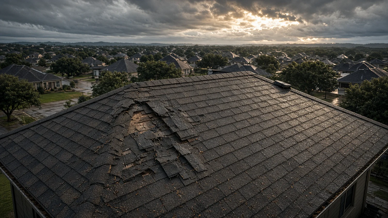
After the Storm: How Drone Roof and Property Inspections Work in North and Central Texas
Hail, wind and summer heat take a toll on Texas roofs. Here's how a drone documents damage safely, what it can't replace, and how to get useful images.
Read article
What a 360 Drone Tour Shows That Ordinary Photos Can't
One position in the sky, every direction at once. A plain-English look at immersive aerial panoramas and where they make a real difference.
Read article
How Much Does Drone Photography Cost? What Really Drives the Price
No made-up price lists here. Instead, a clear look at the factors behind every drone photography quote, so you can compare offers and budget wisely.
Read article